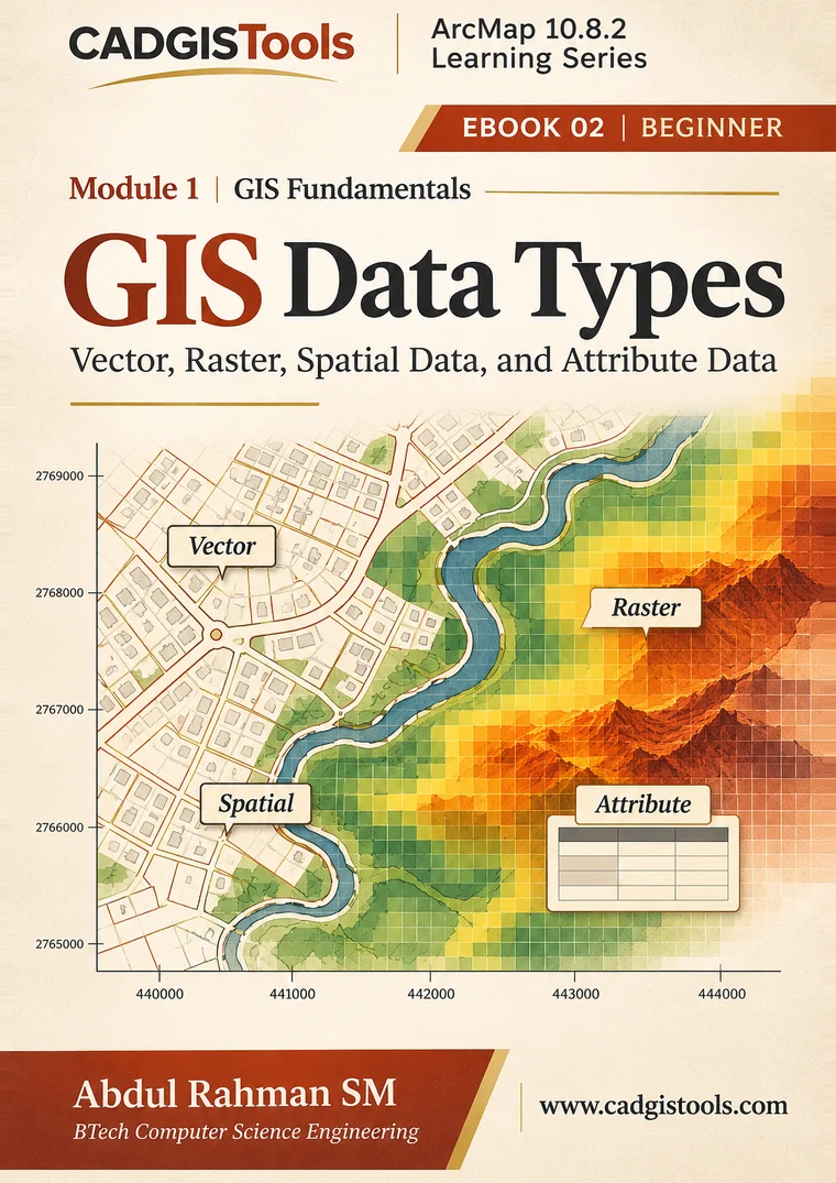
Cover of GIS Data Types by Abdul Rahman SM, EBOOK 02 of the ArcMap 10.8.2 Learning Series

ArcMap 10.8.2 Learning Series Module 1 • EBOOK 02 of 10

GIS Data Types

Vector, Raster, Spatial Data, and Attribute Data

What exactly does a GIS store, and in what form? This eBook answers that question. You will meet the four ideas that sit under almost every GIS project: spatial data, attribute data, vector data and raster data. You will see how they differ, how they work together, and how to choose the right one for a job.

  • 28 PagesBook length
  • BeginnerSkill level
  • Nov 2026First Edition
  • PDF (1.3 MB)File format

Author’s Note

From the Preface

In EBOOK 01 we asked what a GIS is. In this eBook we look inside it and ask what a GIS is made of.

Every map, table and analysis in a GIS rests on data. Yet the words used to describe data, such as vector, raster, spatial, attribute, cell and field, can sound like a second language to a new learner. This is a common place for beginners to feel lost.

This eBook exists to make that vocabulary clear. It explains the two basic kinds of spatial data, vector and raster, and the attribute data that describe what is stored. It shows how they differ, how they work together and how to choose between them. Short worked examples let you check every idea with a pencil and a calculator.

The material has been gathered from relevant sources, compiled, organised in a logical order and presented in a reader-friendly format. It builds on established GIS knowledge developed by many practitioners, educators and organisations. The sources consulted are listed in Appendix C. The aim is clarity, logical progression and practical relevance.

It is written for students who are starting to study GIS, for beginners exploring geospatial technologies, and for anyone who prefers to build knowledge step by step. It is a starting point, not a complete course. Readers are encouraged to practise with real data and to read widely. More information about this series is available at www.cadgistools.com.

Abdul Rahman SM BTech Computer Science Engineering CADGISTools

What You’ll Learn

When you finish this eBook, you will be able to:

  1. Explain the difference between spatial data and attribute data, and how they stay linked.
  2. Describe vector data and name its three geometry types, with an example of each.
  3. Describe raster data using the words cell, row, column, value, cell size and extent.
  4. Calculate the cells in a raster, and explain how cell size changes the amount of data.
  5. Calculate the length and area of a simple vector feature from its coordinates.
  6. Tell discrete data from continuous data, and choose between vector and raster.
  7. Choose a suitable field type (text, whole number, decimal or date) for an attribute.
  8. Recognise other data types and find data properties in ArcMap 10.8.2.

Key Features of This eBook

  • Builds on EBOOK 01

    Starts where EBOOK 01 ends, with short recaps when needed.

  • Ideas you can check by hand

    Count raster cells and measure lines and polygons; every calculation is shown step by step.

  • ArcMap 10.8.2 focused

    How ArcMap handles data, with an optional guided exploration (Section 6.3).

  • Vector or raster? How to choose

    A simple decision method, using both together, and converting between them (Chapter 5).

  • Practice with worked solutions

    6 practice exercises, from easy to challenging, plus review questions, answered in Appendix A.

  • Common mistakes explained

    Seven common beginner mistakes, and how to avoid them (Chapter 7).

  • 9 figures and 6 tables

    Including vector and raster compared side by side, and the common ArcGIS field types.

  • Glossary and references

    Key terms in simple English, and the 16 sources consulted for this edition.

Contents

  1. Preface · About This eBook · Welcome to GIS Data2
  2. 1What Is GIS Data?8
  3. 2Spatial Data and Attribute Data10
  4. 3Vector Data12
  5. 4Raster Data15
  6. 5Vector or Raster?18
  7. 6Other Data Types and Data in ArcMap20
  8. 7Common Mistakes and Misunderstandings22
  9. 8Practice, Review and Next Steps23
  10. AAnswers and Worked Solutions25
  11. BGlossary26
  12. CReferences and Further Learning27

Included in the sample: from the cover to the end of Chapter 1.

Publication Details

Title
GIS Data Types: Vector, Raster, Spatial Data, and Attribute Data
Series
ArcMap 10.8.2 Learning Series · Module 1: GIS Fundamentals · EBOOK 02 of 10 · Beginner level
Author
Abdul Rahman SM, BTech Computer Science Engineering
Publisher
CADGISTools
Edition
First Edition, November 2026
Software covered
ArcGIS Desktop 10.8.2 (ArcMap)
Format
PDF, 28 pages, A4, 1.3 MB
Series position
Previous: EBOOK 01, Introduction to GIS. Next: EBOOK 03, Understanding Vector Geometry.
Copyright
© 2026 CADGISTools. All rights reserved.

Esri, ArcGIS, ArcMap, ArcCatalog and ArcGIS Pro are product names or trademarks of Esri. This eBook is an independent educational publication by CADGISTools. It is not produced, reviewed or endorsed by Esri. All maps, tables, coordinates and numbers in the eBook are invented for teaching unless a source is given.

ArcMap 10.8.2 Learning Series

Module 1: GIS Fundamentals is a set of 10 eBooks. This eBook builds on EBOOK 01, Introduction to GIS.

Next in the Series

EBOOK 03: Understanding Vector Geometry

Points, polylines and polygons in depth: what each represents and when to use it.

GIS Data Types · Sample

Page 1 of 9
The sample ends with Chapter 1. The full eBook has 28 pages. Download eBook (PDF)