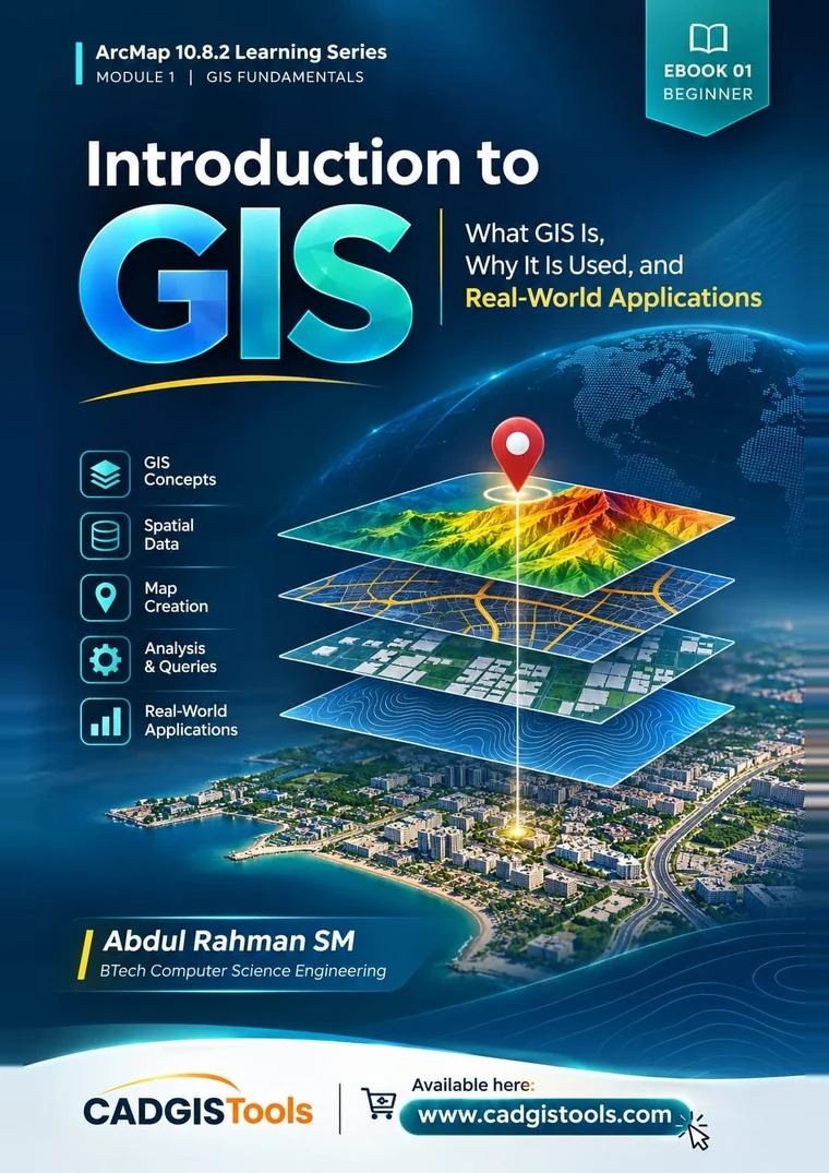
Cover of Introduction to GIS by Abdul Rahman SM, EBOOK 01 of the ArcMap 10.8.2 Learning Series

ArcMap 10.8.2 Learning Series Module 1 • EBOOK 01 of 10

Introduction to GIS

What GIS Is, Why It Is Used, and Real-World Applications

A geographic information system, or GIS, is the tool that helps us answer questions about where things are. This eBook explains what GIS is, how it works at a basic level, and where people use it in real work. You do not need to know anything about GIS before you start.

  • 53 PagesBook length
  • BeginnerSkill level
  • Nov 2026First Edition
  • PDF (4 MB)File format

Author’s Note

From the Preface

Maps are among the oldest tools people have used to make sense of the world. Geographic Information Systems carry that idea into the digital age.

A GIS helps us understand places, interpret spatial information and support decisions in fields such as surveying, urban planning, transportation, utilities and environmental management.

For someone meeting the subject for the first time, however, GIS can seem difficult. The terminology is new, concepts such as layers, features and attributes are unfamiliar, and software workflows can feel crowded with options before the ideas behind them are clear. A clear, organised introduction can make that first step easier and give readers a reliable foundation for everything that follows.

This eBook exists for that reason. Useful technical knowledge should be easy to reach for people who are beginning their learning journey. The material has been gathered from relevant sources, compiled, organised in a logical order and presented in a reader-friendly format. It builds on established GIS knowledge developed by many practitioners, educators and organisations, and the sources consulted are listed in the references at the end of the book. The aim is clarity, logical progression and practical relevance.

It is intended for students who are starting to study GIS, beginners exploring geospatial technologies, surveying and mapping learners, people interested in how GIS is applied, and anyone who prefers to build knowledge step by step.

Educational material is most useful when it is shared, and this eBook is offered for the benefit of those who want to learn. It is a starting point, not a complete course. Readers are encouraged to use it as a base for further study, for practice with real data and for wider reading. More information about this series is available at www.cadgistools.com.

Abdul Rahman SM BTech Computer Science Engineering CADGISTools

What You’ll Learn

When you finish this eBook, you will be able to:

  1. Explain in your own words what a GIS is, using both a plain explanation and the formal definition.
  2. Describe what the three words in “geographic information system” each add.
  3. Tell the difference between a GIS and a paper map, a CAD drawing, a GPS receiver and a web map.
  4. Explain the layer idea and show how layers are combined to answer a question.
  5. Name the two main ways a GIS stores the shape of the world (vector and raster) and explain what an attribute table is for.
  6. Calculate the straight-line distance between two points on a flat, metre-based grid, and explain when this method is valid.
  7. List the five components of a GIS and describe a basic GIS workflow from question to decision.
  8. Recognise five common kinds of questions that a GIS can answer.
  9. Recognise the main parts of ArcMap 10.8.2 (map document, data frame, Table of Contents, layers, Data view and Layout view) and explain how they relate to ArcCatalog and the Catalog window.
  10. Describe real problems that GIS helps to solve in at least five fields of work.
  11. Avoid the most common beginner misunderstandings about GIS.

Key Features of This eBook

  • No earlier GIS knowledge needed

    Only simple arithmetic is used, and every calculation is shown step by step.

  • Ideas before buttons

    Builds the thinking first, because it stays the same even when the software changes.

  • ArcMap 10.8.2 focused

    The main parts of ArcMap explained, with an optional guided exploration (Section 7.4).

  • Real-world applications

    A tour of ten fields where GIS is used, from surveying to utilities, with five illustrative scenarios.

  • Practice with worked solutions

    8 practice exercises, review questions and quick checks, answered in Appendix A.

  • Common mistakes explained

    Seven common beginner mistakes, and how to avoid them (Chapter 9).

  • 16 figures and 14 tables

    Plus colour-coded boxes: key concepts, simple explanations, step-by-step tasks.

  • Glossary and references

    Key terms in simple English, and the 15 sources consulted for this edition.

Contents

  1. Preface · About This eBook · Welcome to GIS2
  2. 1Why Location Matters11
  3. 2What Is GIS?14
  4. 3Where GIS Came From17
  5. 4Seeing a Place in Layers20
  6. 5How a GIS Stores the World25
  7. 6How a GIS Works30
  8. 7Meeting ArcMap 10.8.234
  9. 8GIS at Work39
  10. 9Common Mistakes and Misunderstandings42
  11. 10Practice, Review and Next Steps43
  12. AAnswers and Worked Solutions47
  13. BGlossary50
  14. CReferences and Further Learning52

Included in the sample: from the cover to the end of Chapter 1.

Publication Details

Title
Introduction to GIS: What GIS Is, Why It Is Used, and Real-World Applications
Series
ArcMap 10.8.2 Learning Series · Module 1: GIS Fundamentals · EBOOK 01 of 10 · Beginner level
Author
Abdul Rahman SM, BTech Computer Science Engineering
Publisher
CADGISTools
Edition
First Edition, November 2026
Software covered
ArcGIS Desktop 10.8.2 (ArcMap)
Format
PDF, 53 pages, A4, 4 MB
Series position
Previous: none (this is the first eBook). Next: EBOOK 02, GIS Data Types.
Copyright
© 2026 CADGISTools. All rights reserved.

Esri, ArcGIS, ArcMap, ArcCatalog, ArcScene, ArcGlobe and ArcGIS Pro are product names or trademarks of Esri. This eBook is an independent educational publication by CADGISTools. It is not produced, reviewed or endorsed by Esri. All maps, tables, coordinates and numbers in the eBook are invented for teaching unless a source is given.

ArcMap 10.8.2 Learning Series

Module 1: GIS Fundamentals is a set of 10 eBooks. Every later eBook in the series builds on the ideas you meet here: layers, features, data and attributes.

Next in the Series

EBOOK 02: GIS Data Types

Vector, raster, spatial data and attribute data in detail.

Introduction to GIS · Sample

Page 1 of 13
The sample ends with Chapter 1. The full eBook has 53 pages. Download eBook (PDF)